For regular shipping, all orders must be in by December 12, 2023. After that date, please call Allyn at 843-442-5558 to discuss other shipping options.

Nautical Charts

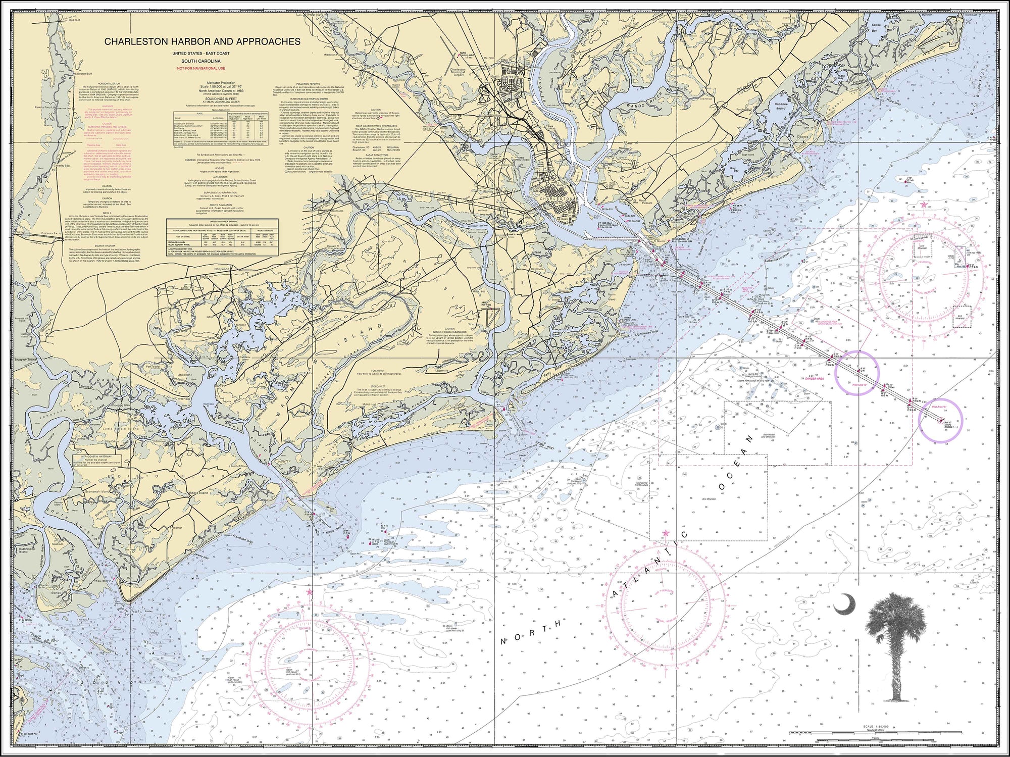
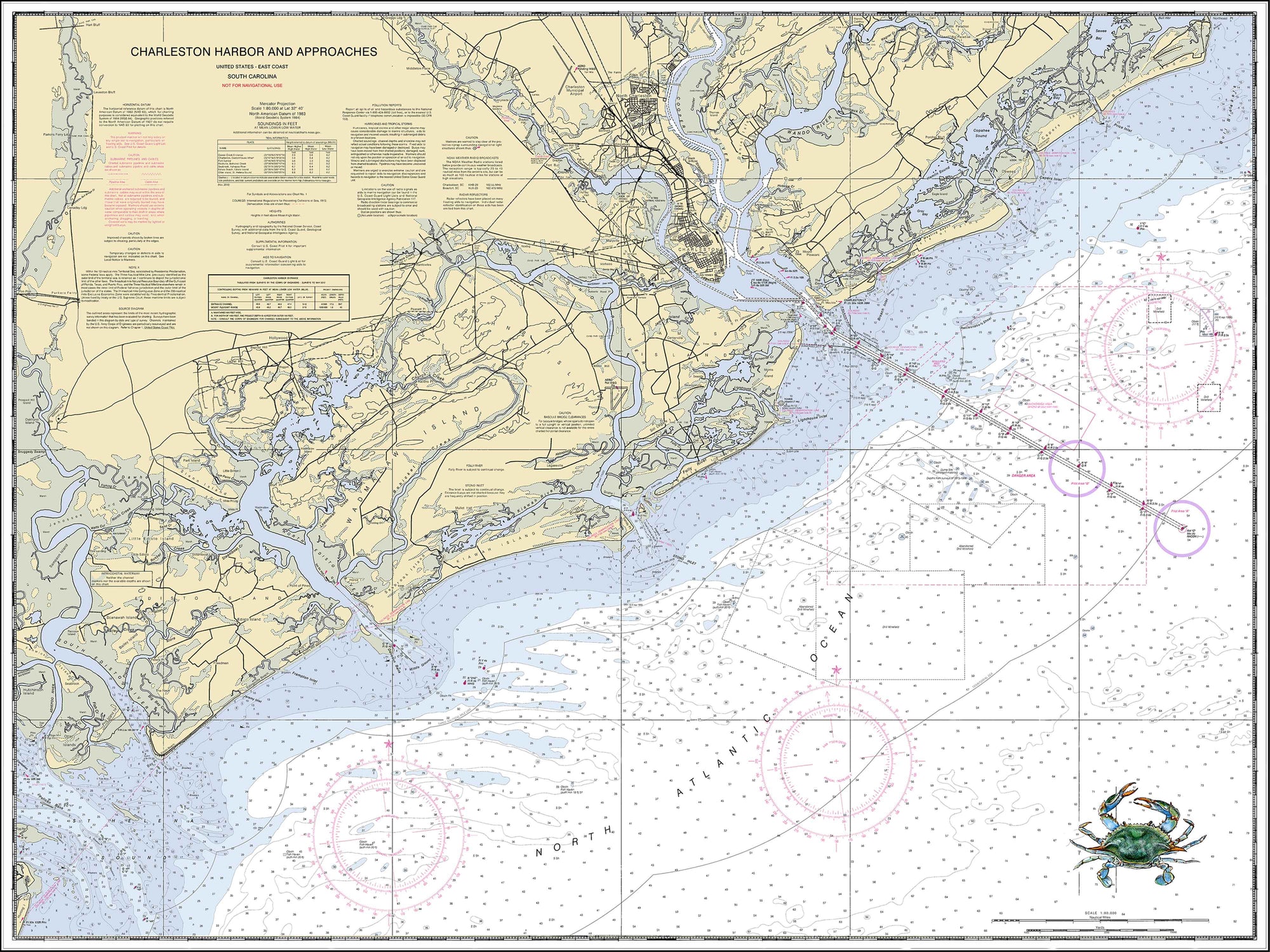
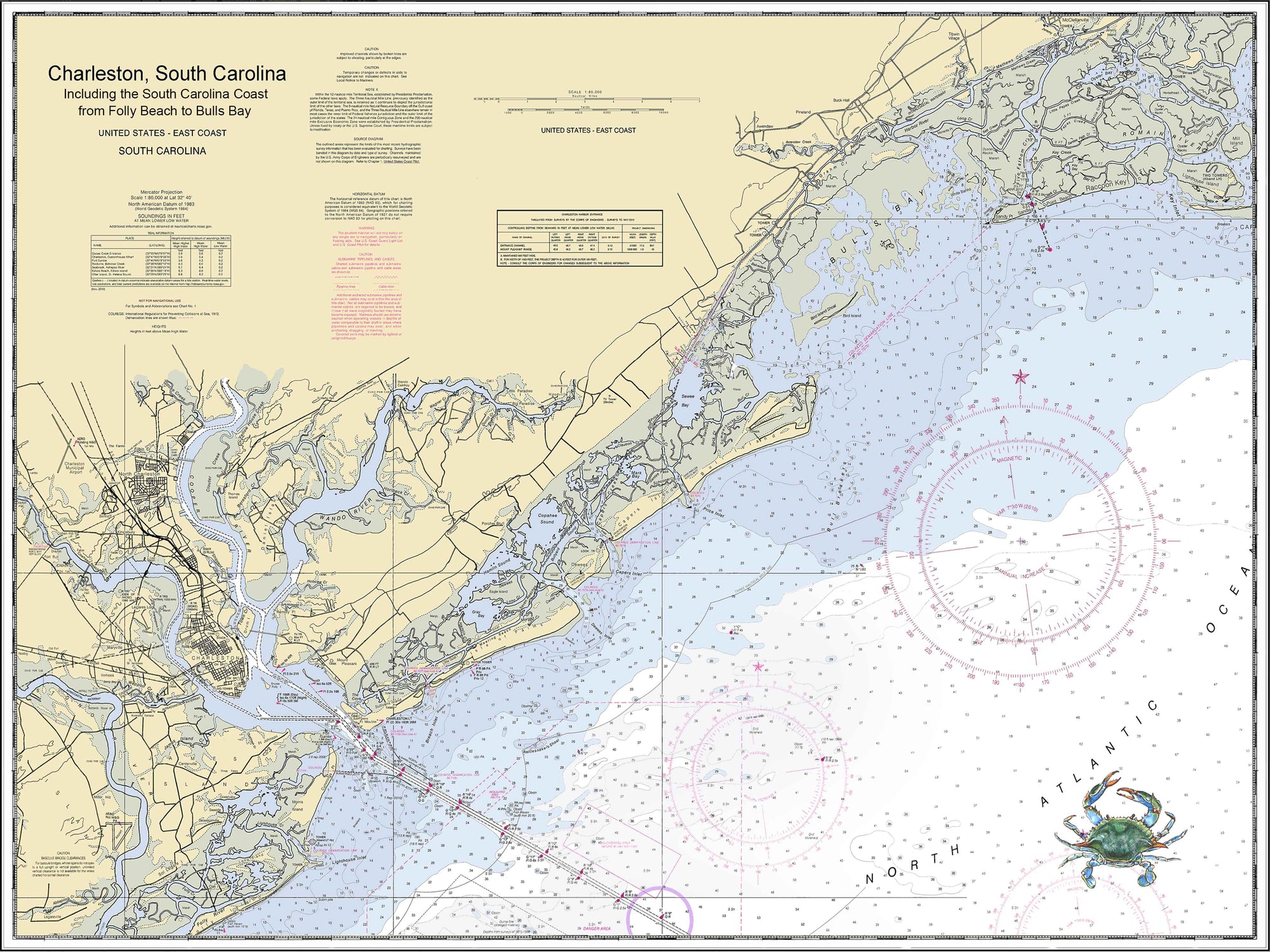
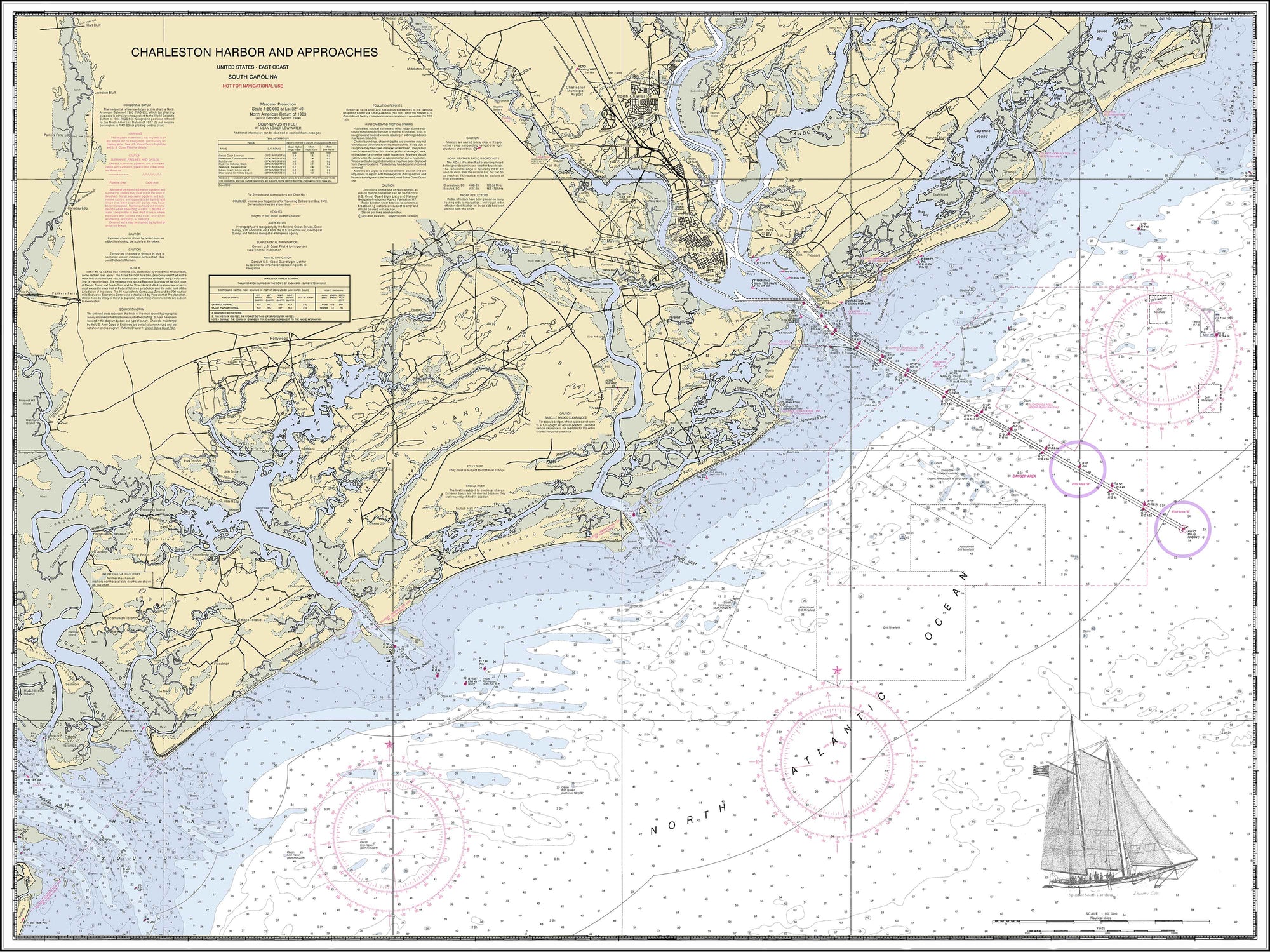
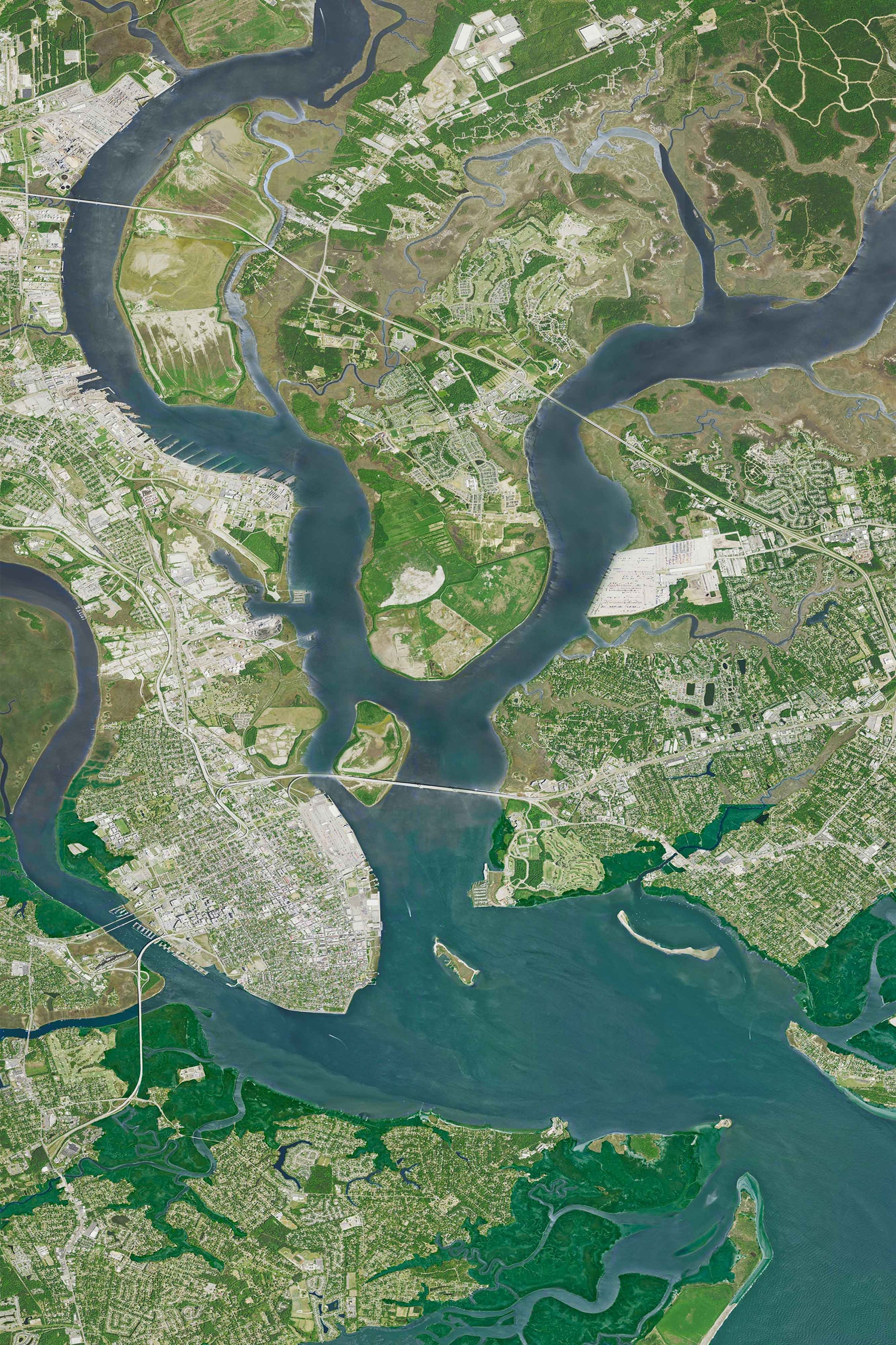
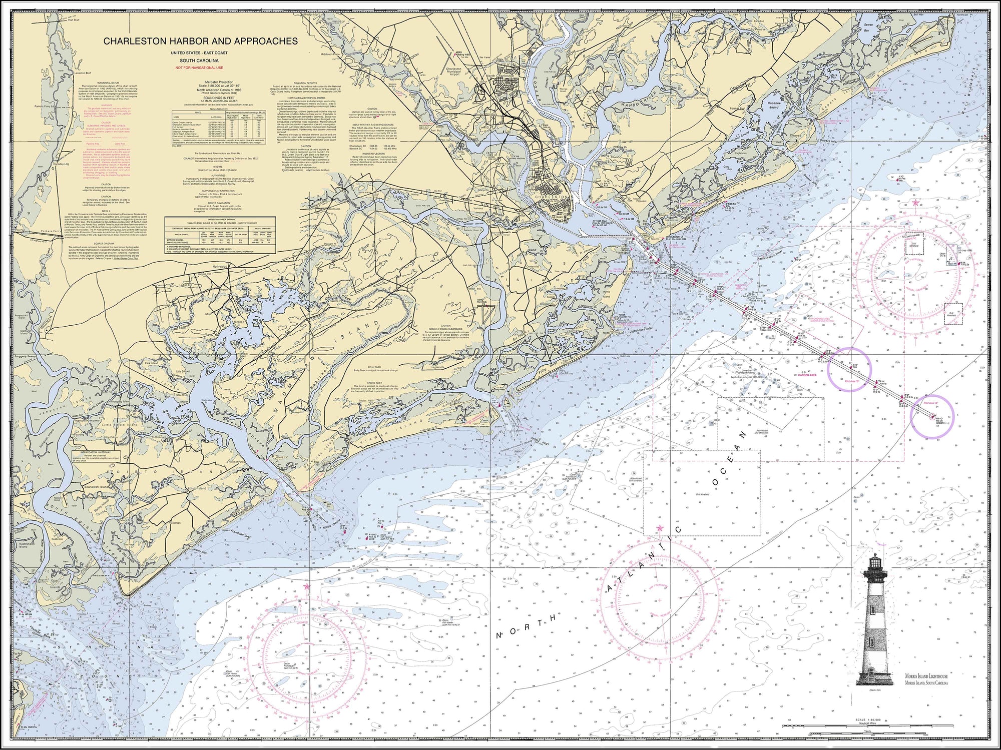
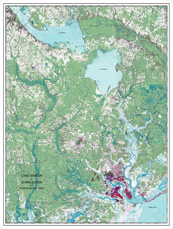
Lowcountry Sketches enhances actual NOAA nautical charts by eliminating any unnecessary imagery and emphasizing the color scheme. We print our charts on museum grade paper which protects against fading or deterioration. We can print in any size and offer our customized barnwood framing. Looking for an area outside of the Lowcountry? We can also find and print any area along the United States' vast coastlines.

Our charts turn into artwork when we superimpose our painted maritime images and sketches onto our charts. These images include a lighthouse, crab, shrimp, turtle, shrimp boat, schooner, and a variety of other maritime images. Contact us at allyn@lowcountrysketches.com if you have any special requests. 

WE CAN

  • Print any US coastline
  • Print in any size
  • custom-frame any size chart
  • Painted or sketched images are available

Made Locally in Charleston Lowcountry.


Charleston Harbor Nautical Chart with Crab
Charleston Harbor Nautical Chart with Crab from $45.00
Charleston Harbor Nautical Chart with Crab
Charleston Harbor Nautical Chart with Crab from $45.00
Charleston Harbor Nautical Chart with Palmetto and Crescent Moon
Charleston Harbor Nautical Chart with Palmetto and Crescent Moon from $45.00
Charleston Harbor Nautical Chart with Palmetto and Crescent Moon
Charleston Harbor Nautical Chart with Palmetto and Crescent Moon from $45.00
Nautical Chart of Charleston Harbor to Bulls Bay with crab image
Nautical Chart of Charleston Harbor to Bulls Bay with crab image from $45.00
Nautical Chart of Charleston Harbor to Bulls Bay with crab image
Nautical Chart of Charleston Harbor to Bulls Bay with crab image from $45.00
Topographical Image of Charleston Harbor, James, Island, Daniel Island, and Mount Pleasant
Topographical Image of Charleston Harbor, James, Island, Daniel Island, and Mount Pleasant from $45.00
Topographical Image of Charleston Harbor, James, Island, Daniel Island, and Mount Pleasant
Topographical Image of Charleston Harbor, James, Island, Daniel Island, and Mount Pleasant from $45.00
Charleston Harbor Nautical Chart with Spirit of South Carolina
Charleston Harbor Nautical Chart with Spirit of South Carolina from $45.00
Charleston Harbor Nautical Chart with Spirit of South Carolina
Charleston Harbor Nautical Chart with Spirit of South Carolina from $45.00
Charleston Harbor Nautical Chart with Lighthouse
Charleston Harbor Nautical Chart with Lighthouse from $45.00
Charleston Harbor Nautical Chart with Lighthouse
Charleston Harbor Nautical Chart with Lighthouse from $45.00
Aerial view of Lakes Moultrie and Marion to Charleston
Aerial view of Lakes Moultrie and Marion to Charleston from $45.00
Aerial view of Lakes Moultrie and Marion to Charleston
Aerial view of Lakes Moultrie and Marion to Charleston from $45.00
Nautical Chart - Folly Beach to McClellanville
Nautical Chart - Folly Beach to McClellanville from $45.00
Nautical Chart - Folly Beach to McClellanville
Nautical Chart - Folly Beach to McClellanville from $45.00