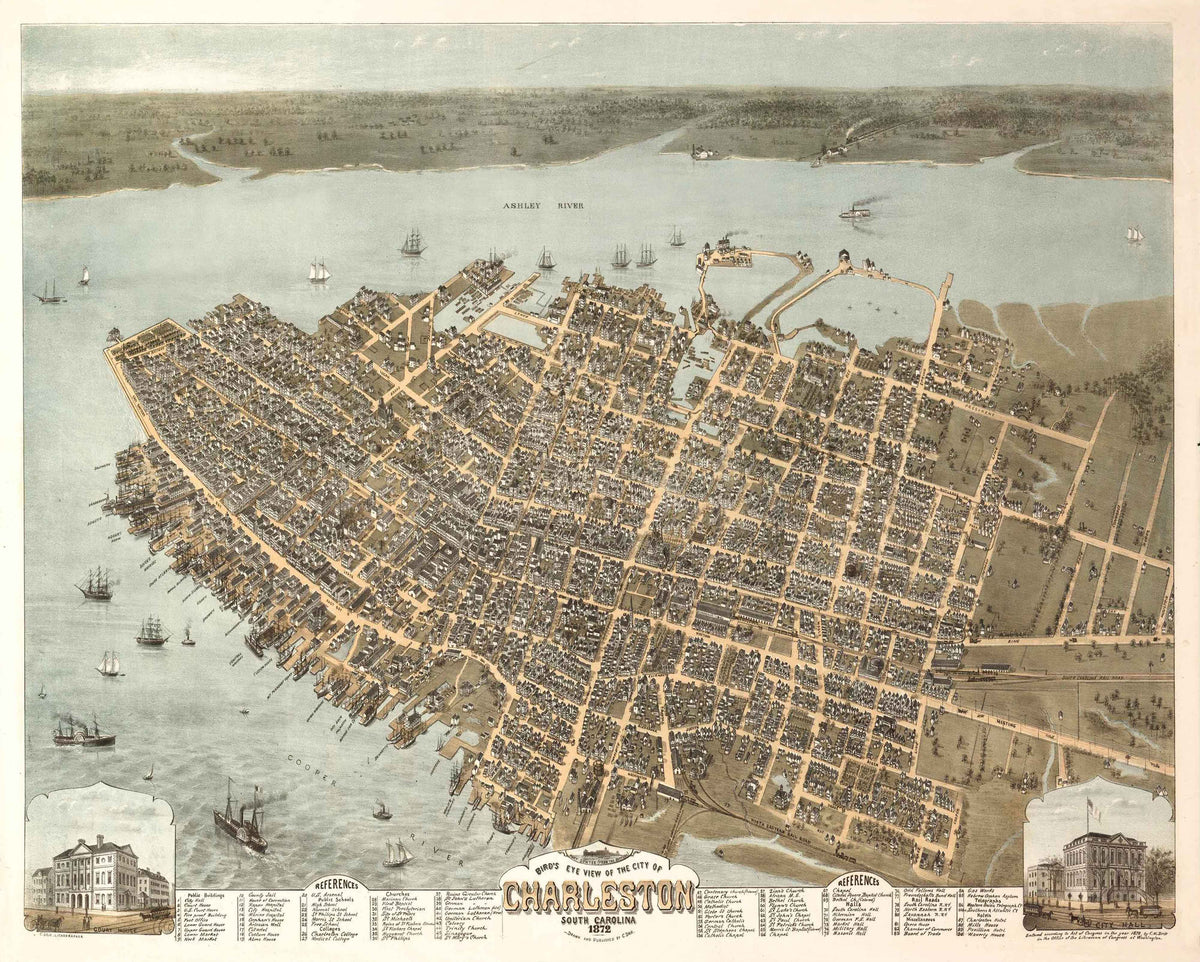
1872 Birdseye View of Charleston
$125.00
This 1872 “Birdseye View” map of Charleston shows a city much changed from its pre-war vitality. In 1865, at the end of the Civil War, Charleston was a city in ruins. It had vacant buildings and damaged homes, wharves that were decayed and rotten, deserted warehouses, overgrown gardens, a high number of orphans and widows, poverty, and little cultural identity. The Civil War had taken its toll on South Carolina, particularly Charleston. South Carolina’s financial and property losses from the war were immense. The state lost $296,000,000 ($7.5 billion in today’s dollars).
The map shows Charleston in transition. Charleston had undergone a metamorphosis from an antebellum city of great political strength, tremendous financial wealth, and a golden society to a city with total devastation by the end of the war. This map of 1872 Charleston portrays the city’s launch of a new era in the Lowcountry.