1865 General Map of Charleston Harbor (with crab artwork)
$125.00
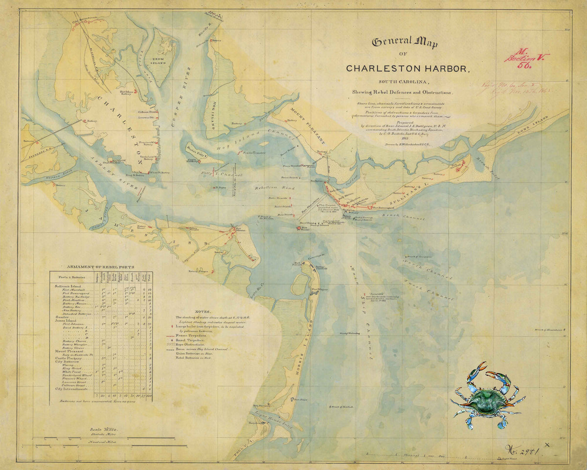
This historic 1865 map of the Charleston Harbor shows the Rebel Defenses and various Obstructions. It is both a military map and a nautical chart depicting Charleston Harbor and its approaches including shorelines, channels, fortifications, and armaments. The map covers Charleston’s coastline from the Isle of Palms at the north to the Stono River to the south. As a military map, it shows many important military sites and events of the Civil War.
This image is enhanced with a painting of a crab. We have a number of paintings or sketches to personalize the map. These include paintings of a crab, a shrimp, a fish, or sea turtle. Sketches can include the Morris Island lighthouse, the Spirit of South Carolina, the palmetto tree with crescent (or gorget) as seen on the SC flag, or other images as you might wish.